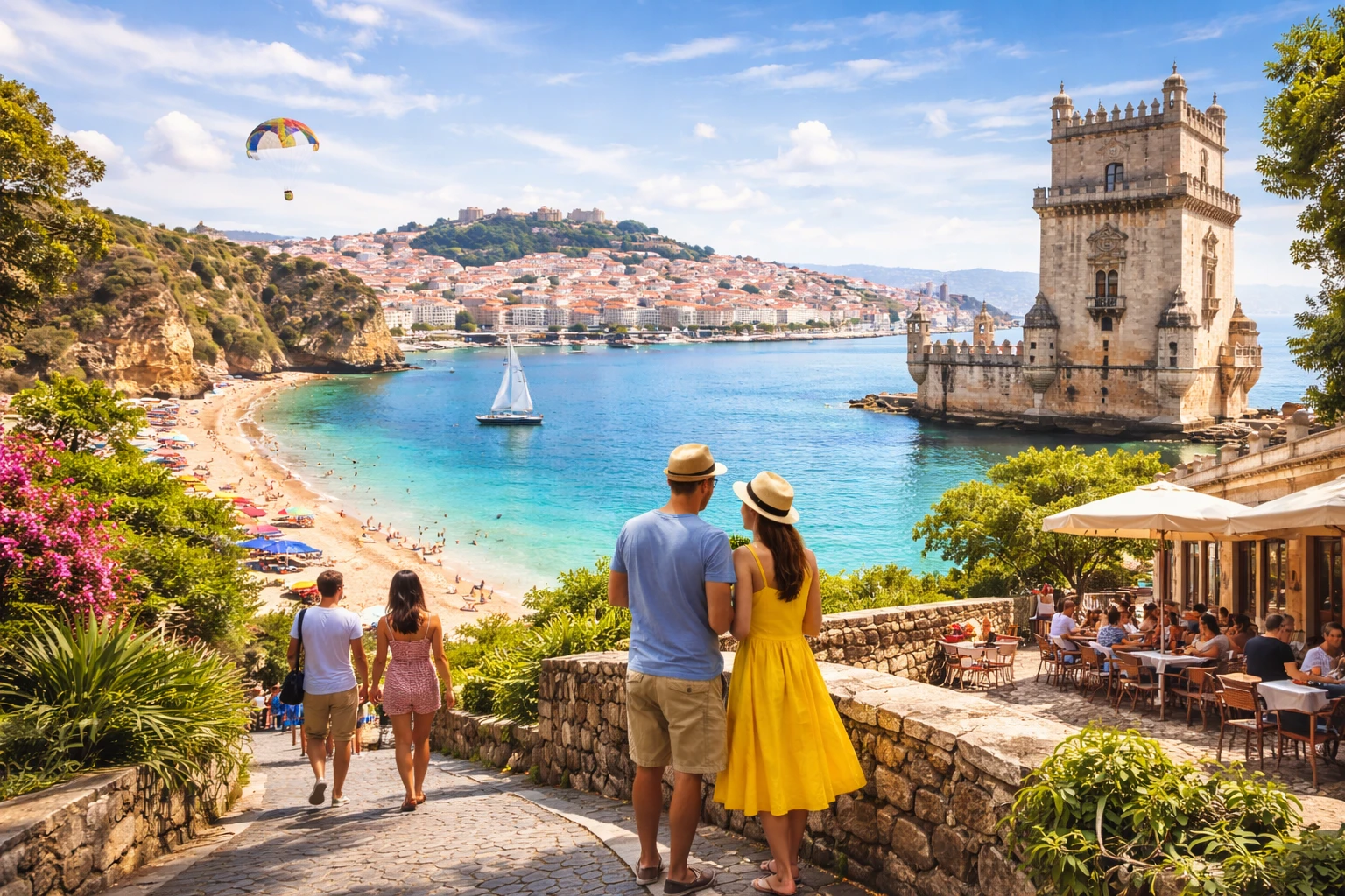
Historic landmarks
Main monuments, best viewpoints, and what’s worth your time in Arganil.
Private transfers & day trips
Private and reliable transfers in Arganil, airport, hotel, business travel and day trips across Portugal.
Arganil is in the Central Portugal region of Portugal, about 232 km from Lisbon Airport.
Plan your visit: the sights of Arganil, what to eat and where to stay.
Arganil is a market town in the hills east of Coimbra and the gateway to the Serra do Açor, a protected mountain landscape of schist villages, chestnut woods and clear streams. Its most famous village is Piódão, a cascade of dark stone houses with blue doors on a steep slope.
Spend half a day in Piódão, walking its narrow lanes to the white parish church. Nearby, take the short trail to Foz d'Égua, where two streams meet below a stone bridge and a natural pool. In Benfeita, walk to the Fraga da Pena waterfall and through the Mata da Margaraça, an ancient forest of oaks and chestnuts. Drive up to the Senhora do Monte Alto sanctuary for views over the town, and swim at the Côja river beach on the Alva.
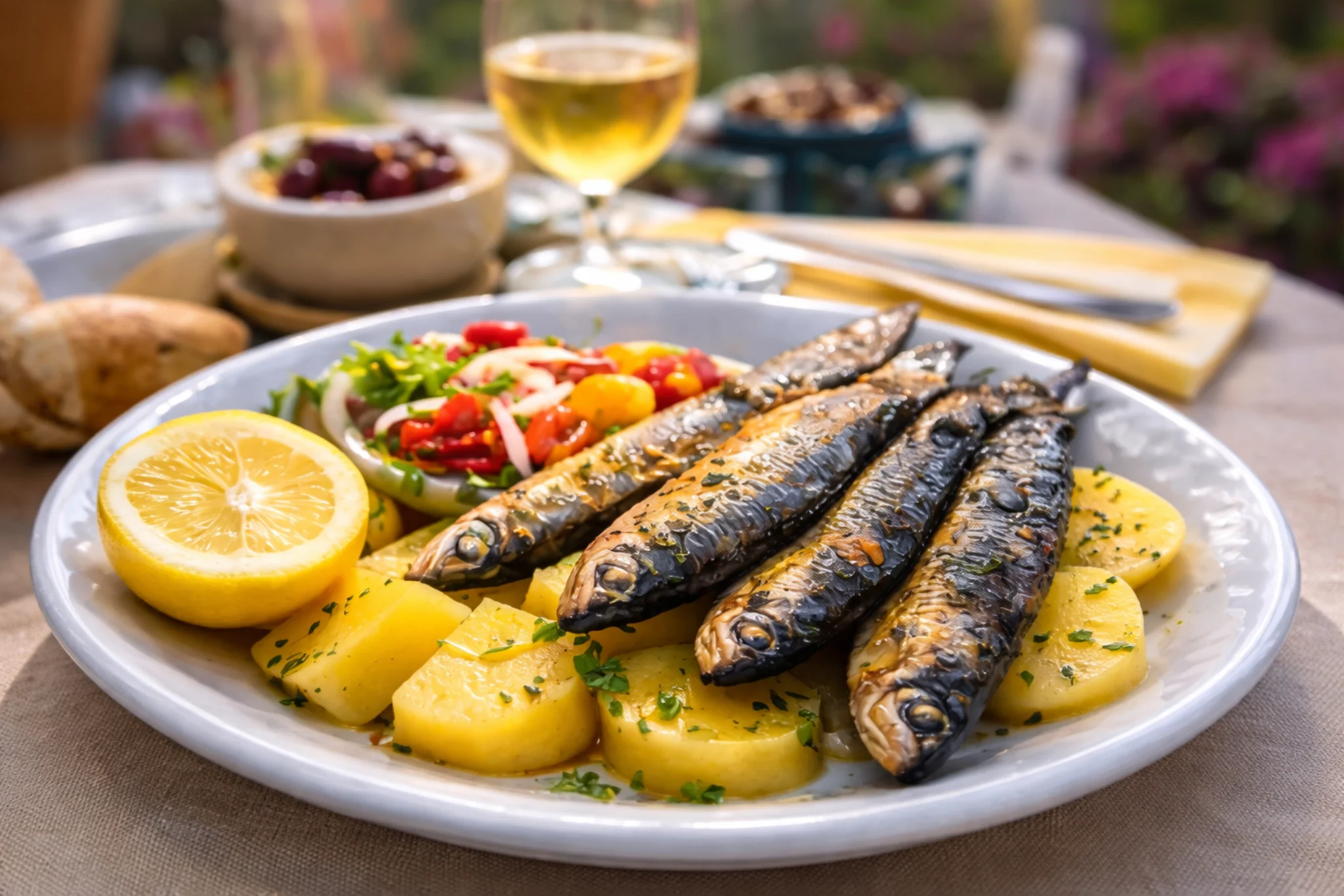
Order chanfana, wood-oven roast kid and fresh trout from the Alva.
Góis is 25 minutes away, Oliveira do Hospital 25 minutes and Coimbra 50 minutes.
Arganil is about 170 km from Porto Airport. GoToo drives you door to door at a fixed price per vehicle.
Main monuments, best viewpoints, and what’s worth your time in Arganil.

Book the right stay in Arganil: best areas, smart picks, and options for every budget.
Yes. Piódão is a parish of Arganil, about 50 minutes from the town by a winding mountain road.
In Benfeita, inside the Serra do Açor protected landscape, a short walk from the car park next to the Mata da Margaraça.
Chanfana, roast kid and Alva trout.
GoToo runs private transfers, about 170 km, at a fixed price per vehicle.
Arganil sits about 158 km from Porto Airport, roughly 135 minutes by road. Public transport often means changes and waiting, and may leave you a walk from where you want to be. A private transfer takes you door-to-door, with a fixed price and no connections, from €231 from Porto Airport.

